Technical Capabilities
White Rhino deploys the latest software and technologies to maximize subsurface intelligence. We are highly skilled at integrating workflows from multiple data sources and software platforms.
Our understanding of the subsurface leverages the modern 3D geomodel thus integrating sequence stratigraphy, lithofacies analysis, data analytics, 2D/3D seismic interpretation, and advanced petrophysics.
Members of our team have written industry leading software and run over $6B worth of valuations using it. We routinely write custom code and algorithms to solve “what if’s” on-the-fly by deploying the best technology to streamline workflows and break down data silos.
We are also experts in data science and analytics and use software to leverage our understanding of both rock quality and the subsurface.
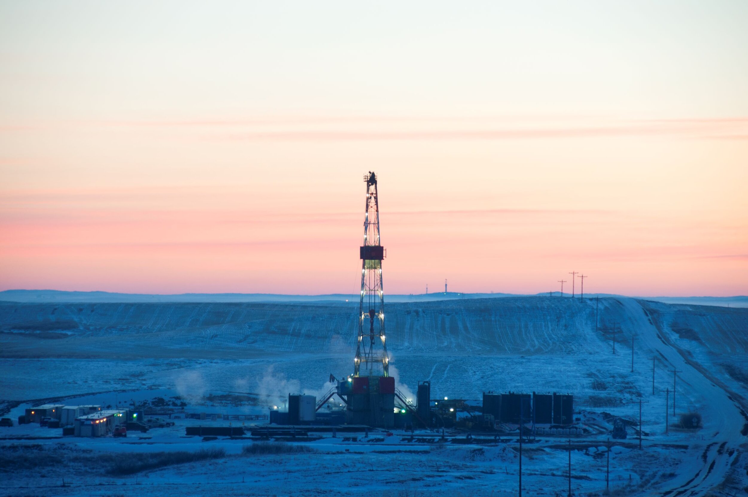
Our team is on-site during exploration and development activities. We have designed and managed sophisticated drilling and completion operations using high-graded geosteering, ceramic proppant, and slick-water fluid design for wells drilled to 20,000’ total depth with 10,000’ laterals. The wells were frac’dwith 38 stages using over 1.0M barrels of water and 40 tons of sand.
Modern 3D geomodel generated by Karl Osterbuhr for a White Rhino project in the Gulf Coast. The upper surface represents an unconformity below a 50’ shale which acts as a seal for the sandstone reservoirs below. Large offset normal faults serve as reservoir boundaries on each side with the reservoirs being truncated by erosion to the south. The marine sands are conformal and were later uplifted by an adjacent salt piercement resulting in beds that dip over 40 degrees. The blue bounding surface below the sands represents the water table. This example highlights White Rhino’s ability to model complex subsurface geology. White Rhino routinely derives multi-faceted subsurface interpretations using advanced 3D geomodelling and modern geological practices.
Sophisticated 3-Dimensional geomodel of the Bakken and Three Forks petroleum system in the Williston Basin of North America. The model was created by Karl Osterbuhr while at Emerald Oil to better understand oil saturations in the middle Bakken and Three Forks formations. Mr. Osterbuhr collaborated with Schlumberger on the petrophysical interpretation that was supported with actual core data. Study outcomes included kerogen and TOC content of the upper and lower Bakken shale source rocks, thickness of all subsurface sources and reservoirs, hydrocarbon pore volume maps, as well as Oil In Place. The geomodel was used to high grade well locations, pinpoint geosteering targets, support reserve estimations, and enhance frac designs.
3D Animation of Bakken
This is 3-Dimensional, animated modeling of the Bakken Reservoir by Karl Osterbuhr.


